
Kód: 08063240
Geological Report of an Examination Made in 1834, of the Elevated Country Between the Missouri and Red Rivers. by G. W. Featherstonhaugh. [With a Map.
Autor George William Featherstonhaugh
bTitle:/b Geological Report of an Examination made in 1834, of the Elevated Country between the Missouri and Red Rivers. By G. W. Featherstonhaugh. [With a map.]br/br/bPublisher:/b British Library, Historical Print Editionsbr/br/T ... celý popis
- Jazyk:
 Angličtina
 - Vazba: Brožovaná
- Počet stran: 116
Nakladatelství: British Library, Historical Print Editions, 2011
- Více informací o knize

Mohlo by se vám také líbit
-

Missionary Position
397 Kč -

Elder Law in New Jersey
648 Kč -

At Ease Like The Blooming Lotus
395 Kč -

Professor Tomos
510 Kč -

Call Me Curious
490 Kč -

Louis
641 Kč -

Metodos Para El Calculo de La Capacidad Portuaria
829 Kč -

Fail Fast. Succeed Faster.
724 Kč -

Anointed Flow
486 Kč -

Blackberry Chronicles
420 Kč -

Decisive Routing and Admission Control According to Quality of Service Constraints
1502 Kč -

Successful Man
901 Kč -

Story of Emily
461 Kč -
Economic Diplomacy of the Suez Crisis
1427 Kč
Dárkový poukaz: Radost zaručena
- Darujte poukaz v libovolné hodnotě a my se postaráme o zbytek.
- Poukaz se vztahuje na celou naši nabídku.
- Elektronický poukaz vytisknete z e-mailu a můžete ihned darovat.
- Platnost poukazu je 12 měsíců od data vystavení.
Více informací o knize Geological Report of an Examination Made in 1834, of the Elevated Country Between the Missouri and Red Rivers. by G. W. Featherstonhaugh. [With a Map.
Nákupem získáte 42 bodů
 Anotace knihy
bTitle:/b Geological Report of an Examination made in 1834, of the Elevated Country between the Missouri and Red Rivers. By G. W. Featherstonhaugh. [With a map.]br/br/bPublisher:/b British Library, Historical Print Editionsbr/br/The British Library is the national library of the United Kingdom. It is one of the world's largest research libraries holding over 150 million items in all known languages and formats: books, journals, newspapers, sound recordings, patents, maps, stamps, prints and much more. Its collections include around 14 million books, along with substantial additional collections of manuscripts and historical items dating back as far as 300 BC.br/br/The GEOLOGY collection includes books from the British Library digitised by Microsoft. The works in this collection contain a number of maps, charts, and tables from the 16th to the 19th centuries documenting geological features of the natural world. Also contained are textbooks and early scientific studies that catalogue and chronicle the human stance toward water and land use. Readers will further enjoy early historical maps of rivers and shorelines demonstrating the artistry of journeymen, cartographers, and illustrators. br/br/++++br/The below data was compiled from various identification fields in the bibliographic record of this title. This data is provided as an additional tool in helping to insure edition identification:br/++++br/br/b
 Parametry knihy
Zařazení knihy Knihy v angličtině Earth sciences, geography, environment, planning Earth sciences
422 Kč
- Plný název: Geological Report of an Examination Made in 1834, of the Elevated Country Between the Missouri and Red Rivers. by G. W. Featherstonhaugh. [With a Map.
- Autor: George William Featherstonhaugh
- Jazyk:
 Angličtina
 - Vazba: Brožovaná
- Počet stran: 116
- EAN: 9781241519995
- ISBN: 9781241519995
- ID: 08063240
- Nakladatelství: British Library, Historical Print Editions
- Hmotnost: 222 g
- Rozměry: 189 × 246 × 6 mm
- Datum vydání: 27. March 2011
Oblíbené z jiného soudku
-

Nature of Nature
548 Kč -

Information
426 Kč -
Earth System Science: A Very Short Introduction
232 Kč -

Computational Fairy Tales
322 Kč -
Quaternary Dating Methods
2689 Kč -
Introduction to Paleobiology and the Fossil Record , 2nd Edition
1706 Kč -
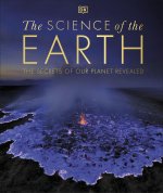
Science of the Earth
747 Kč -

Mastering ArchiMate - Edition II
2122 Kč -
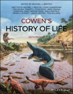
Cowen's History of Life 6e
1866 Kč -
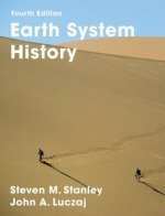
Earth System History
2568 Kč -
Mesoscale Meteorology in Midlatitudes
2186 Kč -
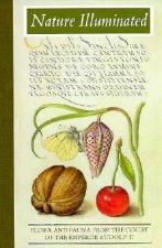
Nature Illuminated
423 Kč -

Ecology and Management of Forest Soils 5e
3390 Kč -
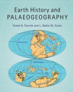
Earth History and Palaeogeography
2325 Kč -
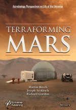
Terraforming Mars
6521 Kč -
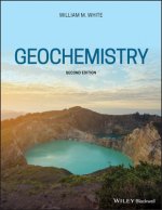
Geochemistry, Second Edition
2218 Kč -

Fundamental Planetary Science
1789 Kč -
ISE Physical Geology
1874 Kč -
Geotechnical Instrumentation and Applications
2391 Kč -
Geoscience for Petroleum Engineers
2813 Kč -

Bohdalec
1454 Kč -
Cold breath of sleeping volcanoes
626 Kč -

New Trends in Earth-Science Outreach and Engagement
3037 Kč -
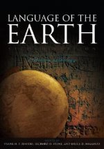
Language of the Earth 2e
1325 Kč -

Hunterian Lectures in Comparative Anatomy, May & June 1837 (Cloth)
2789 Kč -

Quaternary Dating Methods
2674 Kč -

TOGAF Version 9
3186 Kč -
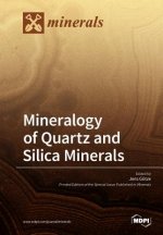
Mineralogy of Quartz and Silica Minerals
1579 Kč -
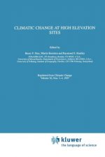
Climatic Change at High Elevation Sites
4671 Kč -
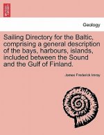
Sailing Directory for the Baltic, Comprising a General Description of the Bays, Harbours, Islands, Included Between the Sound and the Gulf of Finland.
512 Kč -
Mutual Evolution of Earth and Humanity
1431 Kč -
Geological and Mud Logging in Drilling Control
1540 Kč -
Introduction to Applied and Environmental Geophysics 2e
2637 Kč -

Art of Business Process Modeling
275 Kč -
Python Recipes for Earth Sciences
2256 Kč -
![Crystallography for Beginners. with an Appendix on the Use of the Blowpipe and the Determination of Common Minerals, Etc. [With 3 Tables of Diagrams.] Crystallography for Beginners. with an Appendix on the Use of the Blowpipe and the Determination of Common Minerals, Etc. [With 3 Tables of Diagrams.]](https://media.libris.to/jacket/07986811t.jpg)
Crystallography for Beginners. with an Appendix on the Use of the Blowpipe and the Determination of Common Minerals, Etc. [With 3 Tables of Diagrams.]
502 Kč -
Red Sea
3250 Kč -
Earth Science, Global Edition
3052 Kč -
Lop Nor China
3412 Kč -
Micrometeorology
3037 Kč -
Indian Ocean. Sailing Directions for Mauritius and the islands included in its government. ... With an appendix
512 Kč -

Textbook of Earth Science
3569 Kč -
Blue Planet - An Introduction to Earth System Science 3e
5542 Kč -

Regional Metallogenic Analysis, Resources Targeting and Assessment
4761 Kč -

Image Processing and Data Analysis with ERDAS IMAGINE (R)
5310 Kč -
Handbook of Archaeological Sciences
4448 Kč -

The Earth
923 Kč -
Geology of Clays
1540 Kč -

Viticulture and Winemaking under Climate Change
1579 Kč
Osobní odběr Praha, Brno a 12903 dalších
Copyright ©2008-24 nejlevnejsi-knihy.cz Všechna práva vyhrazenaSoukromíCookies


 Vrácení do měsíce
 571 999 099 (8-15.30h)